The NSW Government is exhibiting a $250 million State Significant Development application for a mixed-use development in Castle Hill. GEMI 168 Pty Ltd has submitted the proposal (SSD-78156221), which is open for public comment between 26 March and 22 April 2025.
Located at 93–107 Cecil Avenue and 9–10 Roger Avenue, the site covers more than 13,000 square metres. It lies just 650 metres from Castle Hill Metro Station. The proposal seeks approval to demolish existing buildings and construct a new residential and commercial development with basement parking.
Background
Planning for the site began in 2016, when the Department of Planning issued a Gateway Determination for a Planning Proposal. As a result, the land was rezoned in July 2020. This amendment to The Hills Local Environmental Plan reclassified the site from R1 General Residential and R3 Medium Density Residential to B4 Mixed Use.
In conjunction with the rezoning, the maximum building height control was removed. The amendment also introduced a base Floor Space Ratio (FSR) of 1:1 and an incentivised FSR of up to 3.5:1. Additionally, a site-specific provision was added to The Hills Development Control Plan (DCP), guiding building height transitions, public domain integration, and setbacks.
As part of the rezoning process, the developer entered into a Voluntary Planning Agreement (VPA) with The Hills Shire Council. This agreement ensures the delivery of a pedestrian link between Cecil Avenue and Roger Avenue and includes funding for associated public domain upgrades.
The site forms part of the Castle Hill Strategic Centre. This designation, confirmed in the Greater Sydney Region Plan, Central City District Plan, and Hills Future 2036 Local Strategic Planning Statement, identifies the area for increased density and mixed-use development due to its proximity to key infrastructure.
Development Proposal
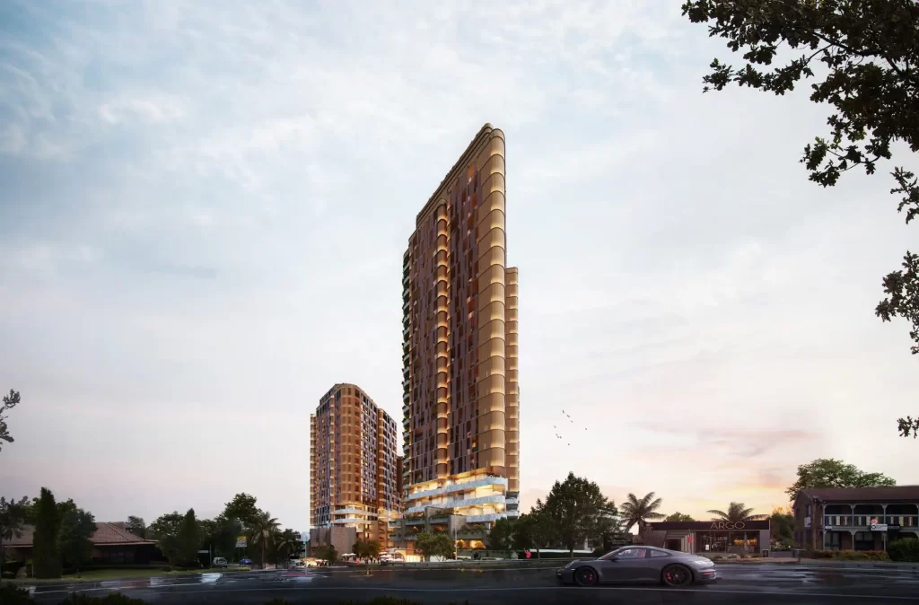
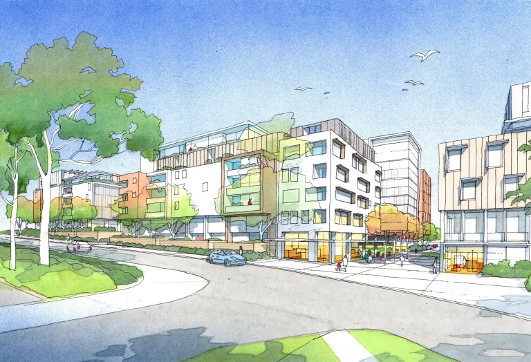
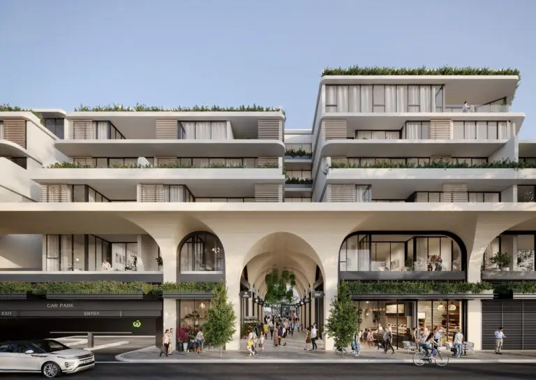
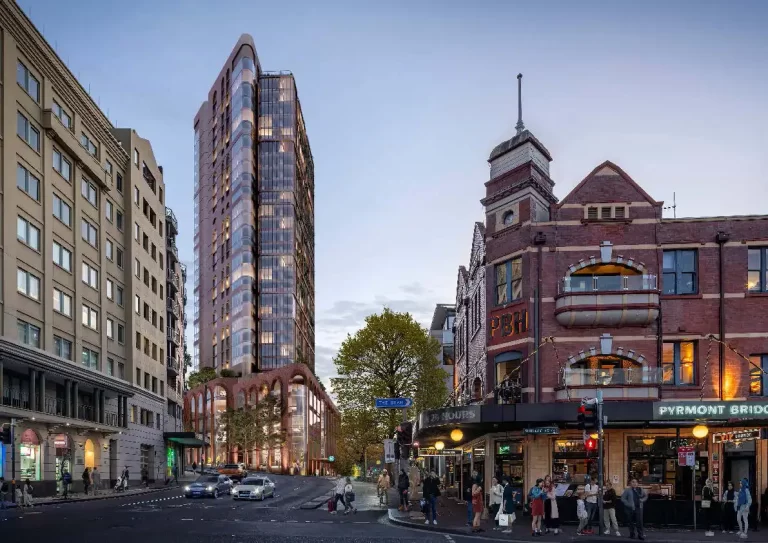
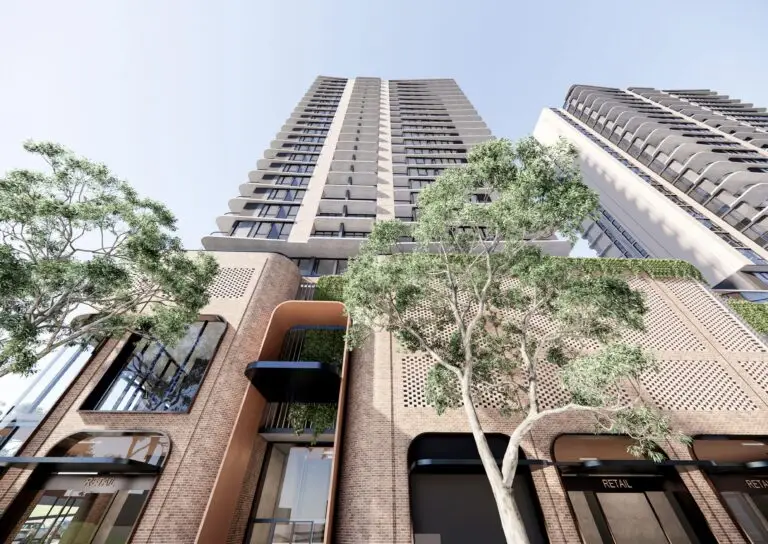
The proposal includes the construction of four mixed-use buildings delivered in stages. The buildings range in height from five to 25 storeys. The tallest buildings, located along Cecil Avenue, rise to 25 and 20 storeys. Further into the site, building heights reduce to 12 and 13 storeys. On the western boundary, a six-storey building sits adjacent to a heritage-listed site, while the eastern edge features a five-storey building to transition towards lower-density housing.
In total, the development will provide 615 apartments. Of these, 169 apartments (15%) are designated as affordable housing. A registered community housing provider will manage these apartments for at least 15 years, in accordance with the requirements of State Environmental Planning Policy (Housing) 2021. By delivering affordable housing at this level, the applicant qualifies for bonus floor space under the SEPP.
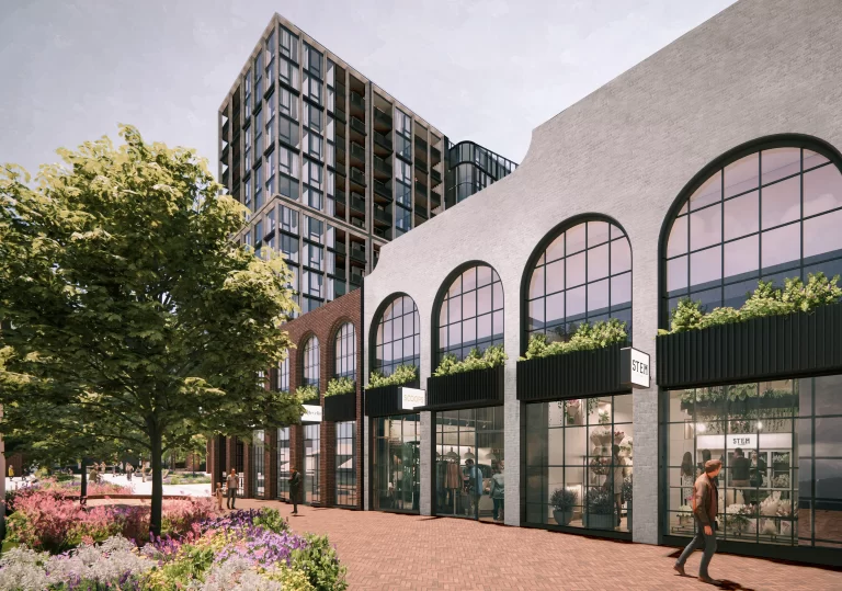
The development also includes 8,025 square metres of non-residential floor space. This space, intended for retail and commercial uses, will activate the ground level, upper ground, and first two storeys of the buildings. Vehicle access is proposed from Cecil Avenue, providing entry to residential, visitor, commercial, and service parking facilities.
Importantly, the design integrates a through-site pedestrian link connecting Cecil Avenue with Roger Avenue. Landscaping is incorporated throughout, including street setbacks, communal spaces, and rooftop areas. These features aim to improve amenity, define the public domain, and support walkability within the precinct.
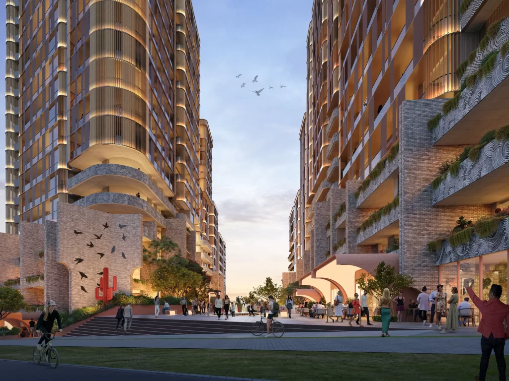
Artist impression by Aplus Architecture
Planning Controls
The Hills Local Environmental Plan 2019 currently applies to the site. The zoning permits mixed-use development under the B4 classification. A base FSR of 1:1 and an incentivised FSR of 3.5:1 apply to the site. By incorporating affordable housing, the proposal seeks to exceed the 3.5:1 threshold in accordance with SEPP (Housing) 2021.
There is no maximum height of buildings control applicable, following the 2020 rezoning. The proposed built form complies with the site-specific provisions in The Hills Development Control Plan. These provisions regulate building height transitions, site layout, and the integration of the public domain.
Urban Design and Public Domain
The proposal adopts a stepped building form to align with the site’s context. Taller buildings are located along Cecil Avenue, with a gradual reduction in scale toward Roger Avenue and surrounding low-rise development. This approach also helps reduce the visual impact on nearby properties.
A pedestrian link between Cecil Avenue and Roger Avenue forms a central feature of the development. As part of the VPA, this link improves permeability across the site. Ground-floor commercial tenancies will line both frontages, encouraging street-level activity and supporting a walkable environment.
Landscaped elements appear throughout the development, including within setbacks, communal open spaces, and rooftop areas. These features contribute to the amenity of future residents and enhance the public interface.
In terms of safety, the layout incorporates Crime Prevention Through Environmental Design (CPTED) principles. The design includes clear sightlines, passive surveillance opportunities, and direct pedestrian connections.
Project Team
- Developer: GEMI 168 Pty Ltd
- Development Manager: Alton Property Group
- Architect: Aplus Architecture Pty Ltd
- Urban Planner: Sutherland & Associates Planning
- Architectural Design and Visual Impact: A+ Design Group
- Landscape Architect: Site Image
- Geotechnical, Site Investigations and Hazardous Materials: EI Australia
- Traffic and Transport: CJP
- Acoustic Consultant: Rodney Stevens Acoustic
- BCA Compliance: AED
- Waste Management: Elephants Foot
- Arboriculture: Plateau Trees
- Accessibility Consultant: Ergon
- Civil, Stormwater and Flooding: Stellen
- Quantity Surveyor and Economic Assessment: Altus Group
- Aboriginal Heritage and Connecting with Country: Everick Heritage
- Archaeology: GML
- Heritage Impact: Weir Phillips Heritage
- Biodiversity Assessment: Narla Environmental
- Social Impact and Engagement: Sarah George Consulting
- Wind Assessment: VIPAC
- Infrastructure Management: Neuron
- Affordable Housing Provider: Cubic Real Estate
- CPTED Assessment: Harris Crime Prevention
- Sustainability Consultant: Credwell
Public Exhibition
The application (SSD-78156221) is on public exhibition from 26 March to 22 April 2025. Community members are encouraged to view the documents and make a submission during this period.
For more information, search the application number (SSD-78156221) on DPHI’s website here: https://www.planningportal.nsw.gov.au/major-projects/projects/mixed-use-development-fill-affordable-housing-cecil-avenue-and-roger-avenue-castle-hill
